Climate NSIPP Images
 |
 |
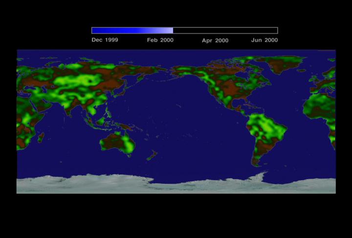
| Flat map |
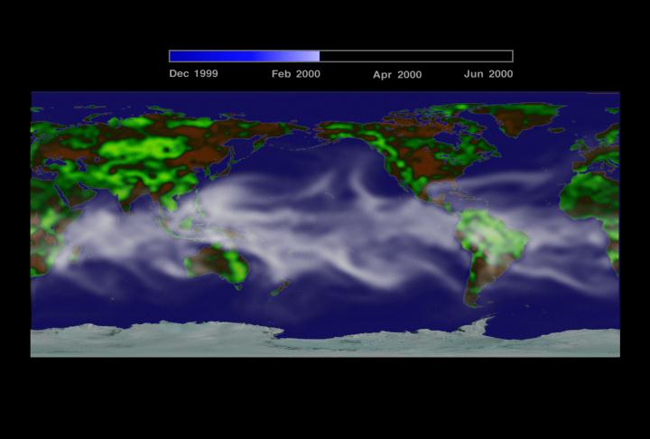
Map with Water Vapor |
 |
 |
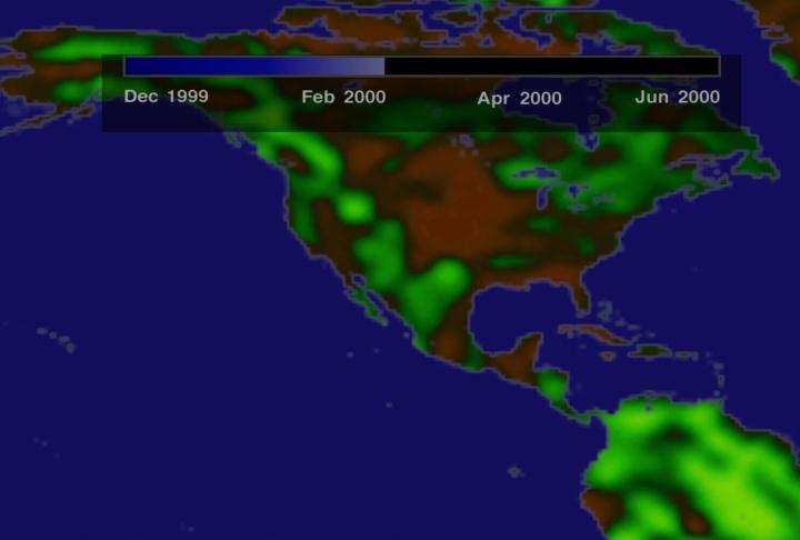
| North America without Water Vapor |
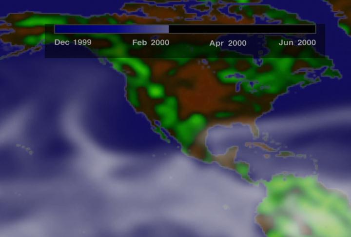
North America with Water Vapor |
This multimedia project is the work of a dedicated team of researchers,
animators, and media specialists. A companion video to this web site is
available from NASA-TV. Below are a list of agencies, departments, and
researchers who provided expertise and data for this production:
NOTE: All SeaWiFs images and data presented on this website are for research and educational use only. All commercial use of SeaWiFs data must be coordinated with ORBIMAGE.
Please give credit for these images to:
NASA - Goddard Space Flight Center
Scientific Visualization Studio
Television Production NASA-TV/GSFC
The SeaWiFs Project and ORBIMAGE
Content Preparation and Project Production:
Michael Starobin
Last Revised: February 4, 2019 at 06:02 PM EST
|